Trevalga
Introduction
The photograph on this page of Trevalga by Rabbi WP Thinrod as part of the Geograph project.
The Geograph project started in 2005 with the aim of publishing, organising and preserving representative images for every square kilometre of Great Britain, Ireland and the Isle of Man.

There are currently over 7.5m images from over 14,400 individuals and you can help contribute to the project by visiting https://www.geograph.org.uk
Trevalga
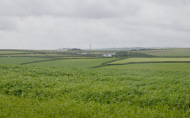
Image: © Rabbi WP Thinrod Taken: 18 Jun 2008
This lush grassland awaits the silage cutter. On the skyline is Trewins Fm and, out of square, Davidstow Creamery.
Images are licensed for reuse under creativecommons.org/licenses/by-sa/2.0
Image Location


Leaflet Map data © OpenStreetMap
Latitude
50.670895
Longitude
-4.691784