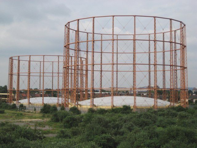
Edmonton gasometers
Introduction
The photograph on this page of Edmonton gasometers by Nigel Cox as part of the Geograph project.
The Geograph project started in 2005 with the aim of publishing, organising and preserving representative images for every square kilometre of Great Britain, Ireland and the Isle of Man.
There are currently over 7.5m images from over 14,400 individuals and you can help contribute to the project by visiting https://www.geograph.org.uk

Image: © Nigel Cox Taken: 10 Jun 2008
The currently earliest available Ordnance Survey 1:10,560 scale mapping on line, the Edition of 1876, shows the area to the south of these gasometers in use, with one gasometer, by the Tottenham and Edmonton Gas Works. The gas works was then in rural isolation. But by the time the 1896 Edition was published the number of gasometers had grown to three, and these two are the later ones. (From a purely Geograph point of view only the nearer quadrant of the nearer gasometer is in TQ3592, the other quadrants being in Image, Image, and Image! The smaller gasometer to the left is almost entirely in Image)

