Darlton Road, East Drayton
Introduction
The photograph on this page of Darlton Road, East Drayton by Katy Walters as part of the Geograph project.
The Geograph project started in 2005 with the aim of publishing, organising and preserving representative images for every square kilometre of Great Britain, Ireland and the Isle of Man.

There are currently over 7.5m images from over 14,400 individuals and you can help contribute to the project by visiting https://www.geograph.org.uk
Darlton Road, East Drayton
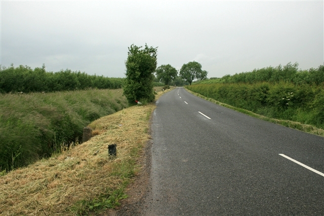
Image: © Katy Walters Taken: 13 Jun 2008
Short Rotation Coppice (SRC) willow lines the road, heading north from the A57 to the village. This crop is three years old, and will be cut at four. Once cut, chipped and dried it can be burned for energy generation, either by co-firing (burning with coal) in a conventional power station, or in a dedicated biomass burner/boiler for generating heat/electricity on a smaller scale.
Images are licensed for reuse under creativecommons.org/licenses/by-sa/2.0
Image Location


Leaflet Map data © OpenStreetMap
Latitude
53.255854
Longitude
-0.842476