Forest Road, Calverton
Introduction
The photograph on this page of Forest Road, Calverton by Jonathan Billinger as part of the Geograph project.
The Geograph project started in 2005 with the aim of publishing, organising and preserving representative images for every square kilometre of Great Britain, Ireland and the Isle of Man.

There are currently over 7.5m images from over 14,400 individuals and you can help contribute to the project by visiting https://www.geograph.org.uk
Forest Road, Calverton
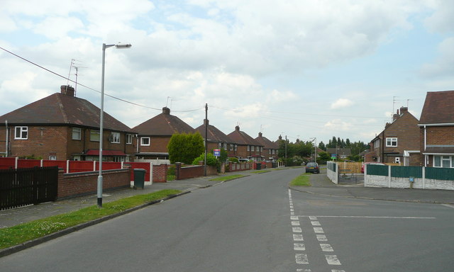
Image: © Jonathan Billinger Taken: 16 Jun 2008
Mining village housing at the junction of Ramsdale Avenue. Part of a Local Authority housing estate developed between 1953 and 1954 by Basford Rural District Council.
Images are licensed for reuse under creativecommons.org/licenses/by-sa/2.0
Image Location
Latitude
53.041748
Longitude
-1.093876