Looking S along the Newnham Valley
Introduction
The photograph on this page of Looking S along the Newnham Valley by Nick Smith as part of the Geograph project.
The Geograph project started in 2005 with the aim of publishing, organising and preserving representative images for every square kilometre of Great Britain, Ireland and the Isle of Man.

There are currently over 7.5m images from over 14,400 individuals and you can help contribute to the project by visiting https://www.geograph.org.uk
Looking S along the Newnham Valley
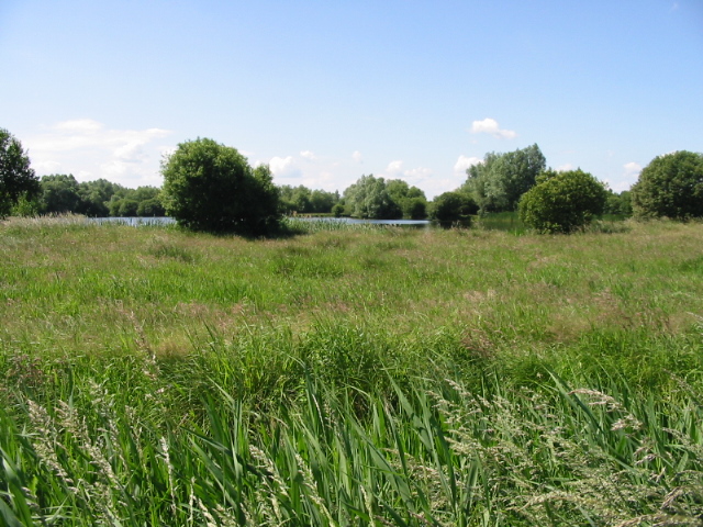
Image: © Nick Smith Taken: 15 Jun 2008
The lake is one of a number of flooded gravel pits through the Stour Valley (Newnham valley is one section of the Stour Valley)
Images are licensed for reuse under creativecommons.org/licenses/by-sa/2.0
Image Location


Leaflet Map data © OpenStreetMap
Latitude
51.295564
Longitude
1.199125