2008 : Upper Weston Farm near Bath
Introduction
The photograph on this page of 2008 : Upper Weston Farm near Bath by Maurice Pullin as part of the Geograph project.
The Geograph project started in 2005 with the aim of publishing, organising and preserving representative images for every square kilometre of Great Britain, Ireland and the Isle of Man.

There are currently over 7.5m images from over 14,400 individuals and you can help contribute to the project by visiting https://www.geograph.org.uk
2008 : Upper Weston Farm near Bath
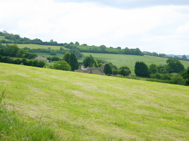
Image: © Maurice Pullin Taken: 13 Jun 2008
The foreground field has been mown, possibly for silage though on a south facing slope and with the recent warm weather it may have been suitable for hay.
Images are licensed for reuse under creativecommons.org/licenses/by-sa/2.0
Image Location
Latitude
51.405141
Longitude
-2.394726