Corner of Dyke Road and Holehouse Drive
Introduction
The photograph on this page of Corner of Dyke Road and Holehouse Drive by Stephen Sweeney as part of the Geograph project.
The Geograph project started in 2005 with the aim of publishing, organising and preserving representative images for every square kilometre of Great Britain, Ireland and the Isle of Man.

There are currently over 7.5m images from over 14,400 individuals and you can help contribute to the project by visiting https://www.geograph.org.uk
Corner of Dyke Road and Holehouse Drive
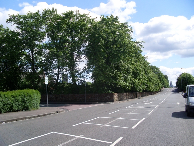
Image: © Stephen Sweeney Taken: 15 Jun 2008
The wall on the corner is at the edge of the grounds of Blawarthill Hospital.
Images are licensed for reuse under creativecommons.org/licenses/by-sa/2.0
Image Location
Latitude
55.889888
Longitude
-4.367729