School Lane, Longhope
Introduction
The photograph on this page of School Lane, Longhope by Pauline E as part of the Geograph project.
The Geograph project started in 2005 with the aim of publishing, organising and preserving representative images for every square kilometre of Great Britain, Ireland and the Isle of Man.

There are currently over 7.5m images from over 14,400 individuals and you can help contribute to the project by visiting https://www.geograph.org.uk
School Lane, Longhope
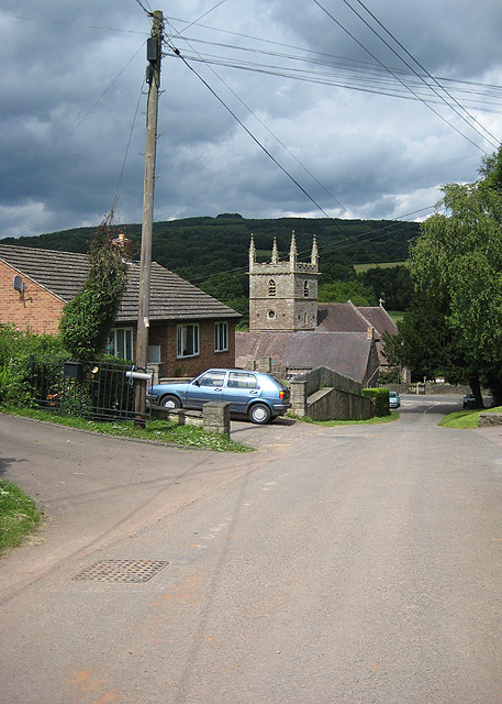
Image: © Pauline E Taken: 15 Jun 2008
Looking down on All Saints Church and beyond to May Hill.
Images are licensed for reuse under creativecommons.org/licenses/by-sa/2.0
Image Location
Latitude
51.875327
Longitude
-2.460422