Farmland view towards Stoke Golding, Leics
Introduction
The photograph on this page of Farmland view towards Stoke Golding, Leics by Rodney Burton as part of the Geograph project.
The Geograph project started in 2005 with the aim of publishing, organising and preserving representative images for every square kilometre of Great Britain, Ireland and the Isle of Man.

There are currently over 7.5m images from over 14,400 individuals and you can help contribute to the project by visiting https://www.geograph.org.uk
Farmland view towards Stoke Golding, Leics
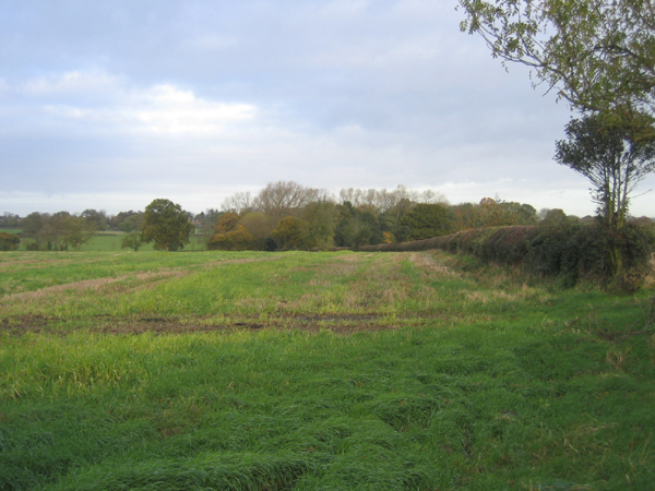
Image: © Rodney Burton Taken: 15 Nov 2005
– stubble field with neat hedgerow looking NW from Rogue's Lane, Hinckley.
Images are licensed for reuse under creativecommons.org/licenses/by-sa/2.0
Image Location


Leaflet Map data © OpenStreetMap
Latitude
52.566575
Longitude
-1.393602