Brighton: Surrey Street
Introduction
The photograph on this page of Brighton: Surrey Street by Nigel Cox as part of the Geograph project.
The Geograph project started in 2005 with the aim of publishing, organising and preserving representative images for every square kilometre of Great Britain, Ireland and the Isle of Man.

There are currently over 7.5m images from over 14,400 individuals and you can help contribute to the project by visiting https://www.geograph.org.uk
Brighton: Surrey Street
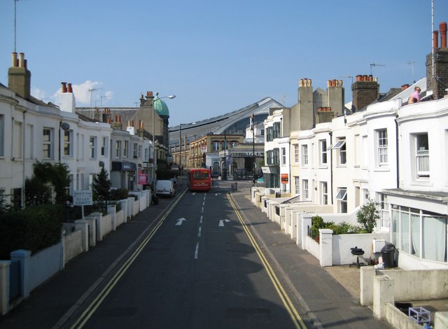
Image: © Nigel Cox Taken: 8 Jun 2008
Surrey Street is now the northbound approach to Brighton Station from the south. The curved roof of the station can clearly be seen. The road is the A2010. The houses are small early Victorian almost certainly built as residences for workers on the railway. To the attractive young lady who I only discovered I had inadvertently photographed sunbathing on the flat roof at the right when I looked at the photo on the computer screen when I got home, my apologies! All I can report is that she was modestly dressed...
Images are licensed for reuse under creativecommons.org/licenses/by-sa/2.0
Image Location
Latitude
50.827947
Longitude
-0.142742