Satellite dishes
Introduction
The photograph on this page of Satellite dishes by Paul McIlroy as part of the Geograph project.
The Geograph project started in 2005 with the aim of publishing, organising and preserving representative images for every square kilometre of Great Britain, Ireland and the Isle of Man.

There are currently over 7.5m images from over 14,400 individuals and you can help contribute to the project by visiting https://www.geograph.org.uk
Satellite dishes
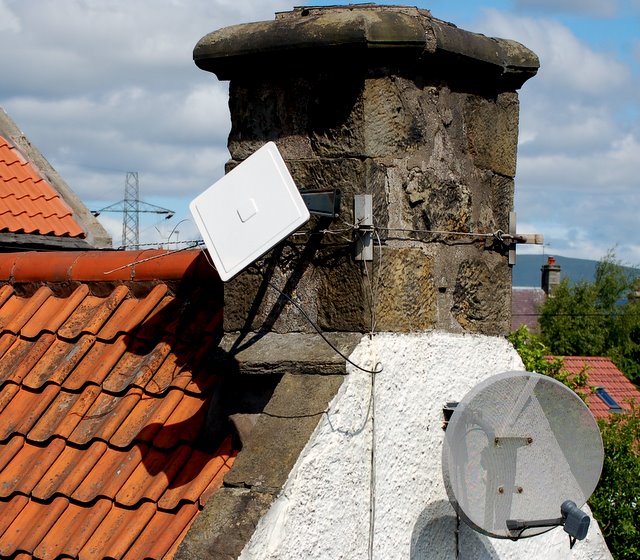
Image: © Paul McIlroy Taken: 13 Jun 2008
The square dish in this picture was known as a squarial it is a relic of the short-lived broadcaster BSB. http://en.wikipedia.org/wiki/British_Satellite_Broadcasting The other dish is a standard satellite antenna
Images are licensed for reuse under creativecommons.org/licenses/by-sa/2.0
Image Location


Leaflet Map data © OpenStreetMap
Latitude
56.066417
Longitude
-3.721651