East Prawle
Introduction
The photograph on this page of East Prawle by Derek Harper as part of the Geograph project.
The Geograph project started in 2005 with the aim of publishing, organising and preserving representative images for every square kilometre of Great Britain, Ireland and the Isle of Man.

There are currently over 7.5m images from over 14,400 individuals and you can help contribute to the project by visiting https://www.geograph.org.uk
East Prawle
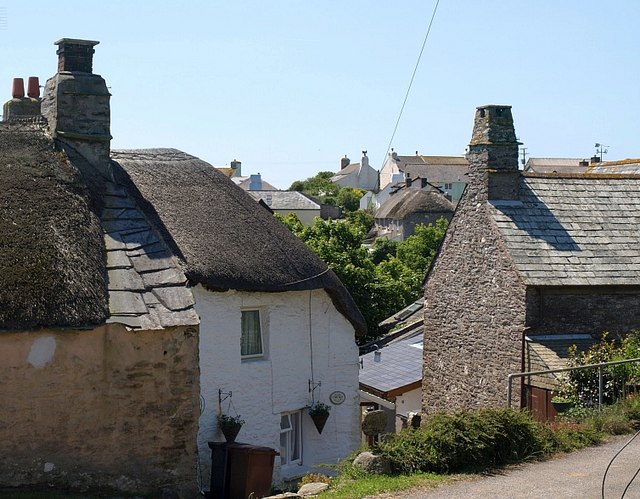
Image: © Derek Harper Taken: 8 Jun 2008
Cottages by Town Farm and Coolings Farm on the northeast side of the village; the valley behind separates them from the main part of the village.
Images are licensed for reuse under creativecommons.org/licenses/by-sa/2.0
Image Location
Latitude
50.216644
Longitude
-3.709533