Farm track bridge over river Cennen at Glancennen Uchaf
Introduction
The photograph on this page of Farm track bridge over river Cennen at Glancennen Uchaf by Nigel Davies as part of the Geograph project.
The Geograph project started in 2005 with the aim of publishing, organising and preserving representative images for every square kilometre of Great Britain, Ireland and the Isle of Man.

There are currently over 7.5m images from over 14,400 individuals and you can help contribute to the project by visiting https://www.geograph.org.uk
Farm track bridge over river Cennen at Glancennen Uchaf
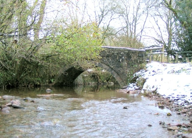
Image: © Nigel Davies Taken: 26 Nov 2005
The track leads down to the river from Soar Chapel and allows access to the riverside right of way to Trapp
Images are licensed for reuse under creativecommons.org/licenses/by-sa/2.0
Image Location
Latitude
51.847436
Longitude
-3.984493