The Bell and Bails, St George's
Introduction
The photograph on this page of The Bell and Bails, St George's by Mike White as part of the Geograph project.
The Geograph project started in 2005 with the aim of publishing, organising and preserving representative images for every square kilometre of Great Britain, Ireland and the Isle of Man.

There are currently over 7.5m images from over 14,400 individuals and you can help contribute to the project by visiting https://www.geograph.org.uk
The Bell and Bails, St George's
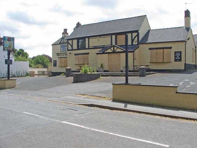
Image: © Mike White Taken: 11 Jun 2008
The Quarry House is named on the 1889 map but was renamed in the 1990's to reflect St George's church tower and the cricket ground opposite. In 2008 it is boarded up.
Images are licensed for reuse under creativecommons.org/licenses/by-sa/2.0
Image Location
Latitude
52.694544
Longitude
-2.431711