Brighton: Stafford Road
Introduction
The photograph on this page of Brighton: Stafford Road by Nigel Cox as part of the Geograph project.
The Geograph project started in 2005 with the aim of publishing, organising and preserving representative images for every square kilometre of Great Britain, Ireland and the Isle of Man.

There are currently over 7.5m images from over 14,400 individuals and you can help contribute to the project by visiting https://www.geograph.org.uk
Brighton: Stafford Road
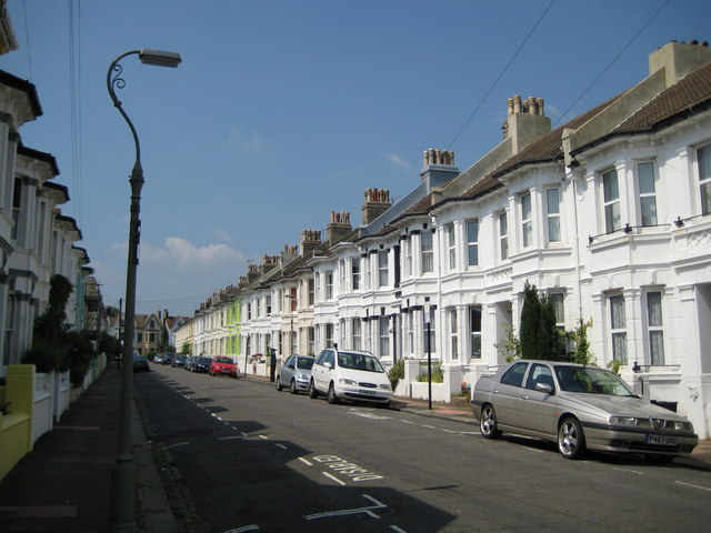
Image: © Nigel Cox Taken: 8 Jun 2008
Please see Simon's Image for the history of the road. The dark green house in his image is visible on the left side of this one.
Images are licensed for reuse under creativecommons.org/licenses/by-sa/2.0
Image Location
Latitude
50.835273
Longitude
-0.150973