The Timberdine, St Peter's, Worcester
Introduction
The photograph on this page of The Timberdine, St Peter's, Worcester by Philip Halling as part of the Geograph project.
The Geograph project started in 2005 with the aim of publishing, organising and preserving representative images for every square kilometre of Great Britain, Ireland and the Isle of Man.

There are currently over 7.5m images from over 14,400 individuals and you can help contribute to the project by visiting https://www.geograph.org.uk
The Timberdine, St Peter's, Worcester
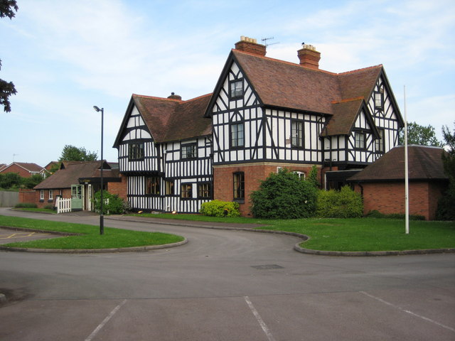
Image: © Philip Halling Taken: 4 Jun 2008
The Timberdine is currently a Harvester Inn and Restaurant, however, before the development of the St Peter's housing estate in the 1980s, this was the farmhouse to Timberdine Farm.
Images are licensed for reuse under creativecommons.org/licenses/by-sa/2.0
Image Location
Latitude
52.166251
Longitude
-2.214581