Tamerton Foliot Village
Introduction
The photograph on this page of Tamerton Foliot Village by Tony Atkin as part of the Geograph project.
The Geograph project started in 2005 with the aim of publishing, organising and preserving representative images for every square kilometre of Great Britain, Ireland and the Isle of Man.

There are currently over 7.5m images from over 14,400 individuals and you can help contribute to the project by visiting https://www.geograph.org.uk
Tamerton Foliot Village
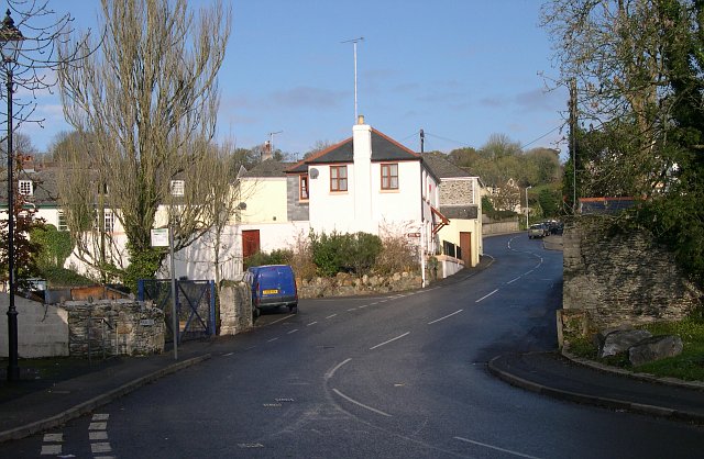
Image: © Tony Atkin Taken: 26 Nov 2005
The village of Tamerton Foliot was subsumed into Plymouth City in 1967 but despite this and the building of a lot of new houses nearby, Tamerton Foliot has managed to keep a village feel about itself.
Images are licensed for reuse under creativecommons.org/licenses/by-sa/2.0
Image Location


Leaflet Map data © OpenStreetMap
Latitude
50.427944
Longitude
-4.156847