Bromyard Terrace
Introduction
The photograph on this page of Bromyard Terrace by Mary and Angus Hogg as part of the Geograph project.
The Geograph project started in 2005 with the aim of publishing, organising and preserving representative images for every square kilometre of Great Britain, Ireland and the Isle of Man.

There are currently over 7.5m images from over 14,400 individuals and you can help contribute to the project by visiting https://www.geograph.org.uk
Bromyard Terrace
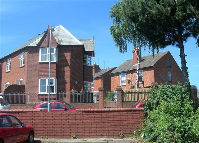
Image: © Mary and Angus Hogg Taken: 9 Jun 2008
Red brick houses in Bromyard Terrace, viewed from the Co-op supermarket car park.
Images are licensed for reuse under creativecommons.org/licenses/by-sa/2.0
Image Location
Latitude
52.190218
Longitude
-2.234591