Russell House
Introduction
The photograph on this page of Russell House by Mary and Angus Hogg as part of the Geograph project.
The Geograph project started in 2005 with the aim of publishing, organising and preserving representative images for every square kilometre of Great Britain, Ireland and the Isle of Man.

There are currently over 7.5m images from over 14,400 individuals and you can help contribute to the project by visiting https://www.geograph.org.uk
Russell House
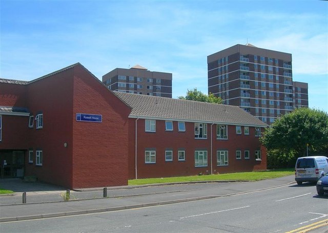
Image: © Mary and Angus Hogg Taken: 9 Jun 2008
Located in Bush Walk, opposite the Co-op supermarket. For more information about the high-rise flats, see Image
Images are licensed for reuse under creativecommons.org/licenses/by-sa/2.0
Image Location
Latitude
52.19004
Longitude
-2.23342