Farmland, near Catcomb Farm, Catcomb
Introduction
The photograph on this page of Farmland, near Catcomb Farm, Catcomb by Brian Robert Marshall as part of the Geograph project.
The Geograph project started in 2005 with the aim of publishing, organising and preserving representative images for every square kilometre of Great Britain, Ireland and the Isle of Man.

There are currently over 7.5m images from over 14,400 individuals and you can help contribute to the project by visiting https://www.geograph.org.uk
Farmland, near Catcomb Farm, Catcomb
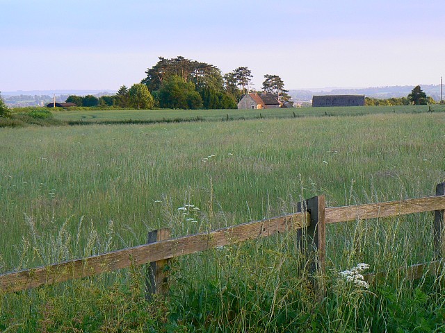
Image: © Brian Robert Marshall Taken: 10 Jun 2008
Behind the viewpoint is an electricity sub-station discernible on the maps. Catcomb Farm, seen in this image, is at SU009768. The image was taken as the sun was sinking towards the horizon meaning that the colours are somewhat muted.
Images are licensed for reuse under creativecommons.org/licenses/by-sa/2.0
Image Location


Leaflet Map data © OpenStreetMap
Latitude
51.493563
Longitude
-1.985547