Patcham: A27 dual carriageway
Introduction
The photograph on this page of Patcham: A27 dual carriageway by Nigel Cox as part of the Geograph project.
The Geograph project started in 2005 with the aim of publishing, organising and preserving representative images for every square kilometre of Great Britain, Ireland and the Isle of Man.

There are currently over 7.5m images from over 14,400 individuals and you can help contribute to the project by visiting https://www.geograph.org.uk
Patcham: A27 dual carriageway
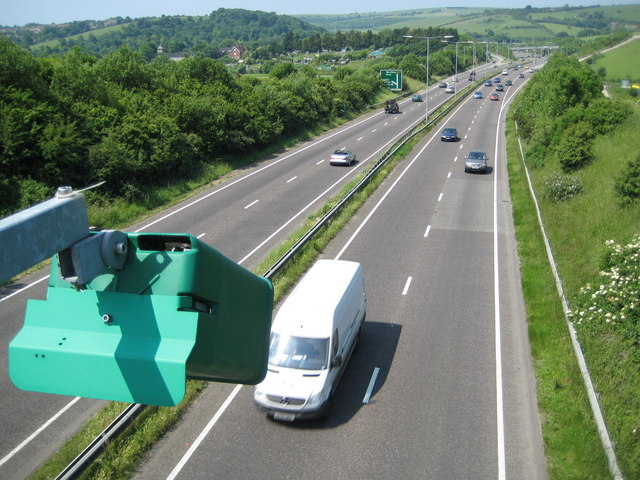
Image: © Nigel Cox Taken: 8 Jun 2008
This view was taken looking west, from the footbridge in the grid square, in the direction of Hove and Worthing. The green box contains a traffic sensor and has a plate mounted behind it stressing that it is not a speed camera.
Images are licensed for reuse under creativecommons.org/licenses/by-sa/2.0
Image Location
Latitude
50.868482
Longitude
-0.146817