Wooden Hut, Thiernswood Hall
Introduction
The photograph on this page of Wooden Hut, Thiernswood Hall by Mick Garratt as part of the Geograph project.
The Geograph project started in 2005 with the aim of publishing, organising and preserving representative images for every square kilometre of Great Britain, Ireland and the Isle of Man.

There are currently over 7.5m images from over 14,400 individuals and you can help contribute to the project by visiting https://www.geograph.org.uk
Wooden Hut, Thiernswood Hall
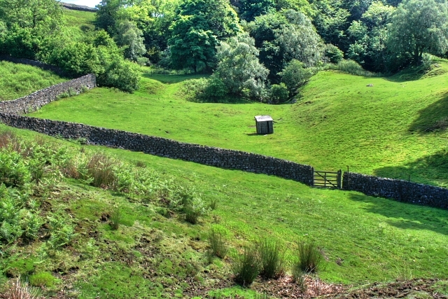
Image: © Mick Garratt Taken: 8 Jun 2008
Wooden huts are not normally shown on OS maps being considered of a temporary nature. But this one is.
Images are licensed for reuse under creativecommons.org/licenses/by-sa/2.0
Image Location
Latitude
54.389902
Longitude
-1.985645