Approaching Broxwater
Introduction
The photograph on this page of Approaching Broxwater by Phil Williams as part of the Geograph project.
The Geograph project started in 2005 with the aim of publishing, organising and preserving representative images for every square kilometre of Great Britain, Ireland and the Isle of Man.

There are currently over 7.5m images from over 14,400 individuals and you can help contribute to the project by visiting https://www.geograph.org.uk
Approaching Broxwater
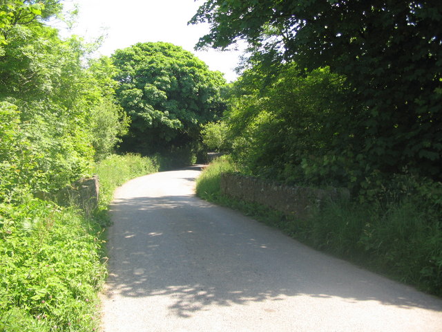
Image: © Phil Williams Taken: 9 Jun 2008
A view looking to the east along the lane from Taylors Cross to Broxwater. The small bridge carries the lane over the Lamberal Water.
Images are licensed for reuse under creativecommons.org/licenses/by-sa/2.0
Image Location
Latitude
50.893128
Longitude
-4.465783