Old Windmill near to Carsington Pastures
Introduction
The photograph on this page of Old Windmill near to Carsington Pastures by Phil Berry as part of the Geograph project.
The Geograph project started in 2005 with the aim of publishing, organising and preserving representative images for every square kilometre of Great Britain, Ireland and the Isle of Man.

There are currently over 7.5m images from over 14,400 individuals and you can help contribute to the project by visiting https://www.geograph.org.uk
Old Windmill near to Carsington Pastures
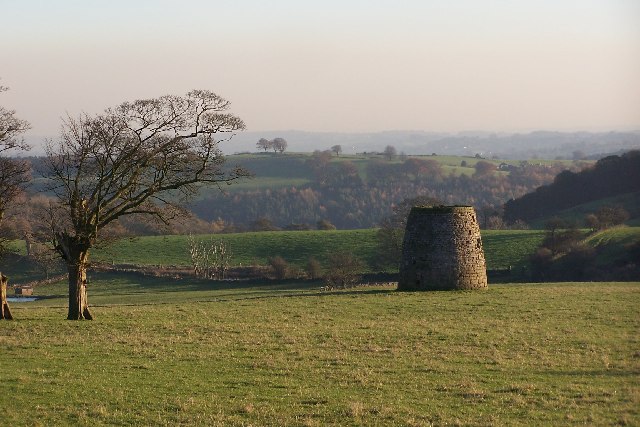
Image: © Phil Berry Taken: 18 Oct 2005
Looking south east towards Wirksworth from the High Peak Trail at Hopton Incline. I always thought that this was a lime kiln but the map says it's an old windmill and was probably used as part of the ore processing procedures from nearby lead mines.
Images are licensed for reuse under creativecommons.org/licenses/by-sa/2.0
Image Location


Leaflet Map data © OpenStreetMap
Latitude
53.087112
Longitude
-1.620725