Access to Park Farm
Introduction
The photograph on this page of Access to Park Farm by Mr Biz as part of the Geograph project.
The Geograph project started in 2005 with the aim of publishing, organising and preserving representative images for every square kilometre of Great Britain, Ireland and the Isle of Man.

There are currently over 7.5m images from over 14,400 individuals and you can help contribute to the project by visiting https://www.geograph.org.uk
Access to Park Farm
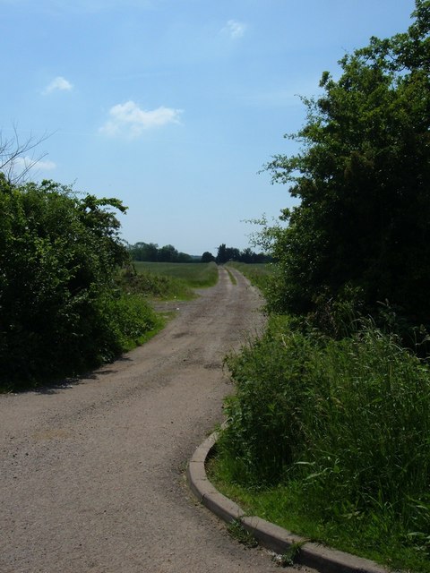
Image: © Mr Biz Taken: 8 Jun 2008
Near to Little Brickhill, just off the old A5 (and the track of the old Roman Road, Watling Street) is this access road to Park Farm.
Images are licensed for reuse under creativecommons.org/licenses/by-sa/2.0
Image Location


Leaflet Map data © OpenStreetMap
Latitude
51.974842
Longitude
-0.664671