Arundel and Elgin Communal Gardens
Introduction
The photograph on this page of Arundel and Elgin Communal Gardens by David Hawgood as part of the Geograph project.
The Geograph project started in 2005 with the aim of publishing, organising and preserving representative images for every square kilometre of Great Britain, Ireland and the Isle of Man.

There are currently over 7.5m images from over 14,400 individuals and you can help contribute to the project by visiting https://www.geograph.org.uk
Arundel and Elgin Communal Gardens
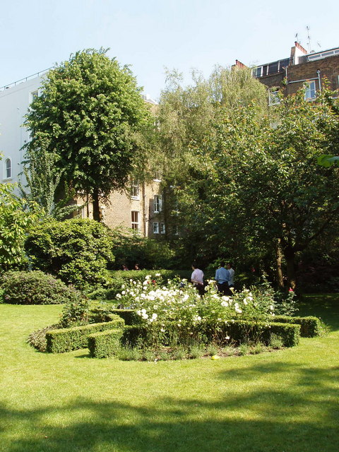
Image: © David Hawgood Taken: 8 Jun 2008
Private garden for the use of residents of Arundel Gardens and Elgin Crescent, built 1852-1862. The layout is that shown in an 1862 map. Photo taken during Open Squares Weekend http://www.opensquares.org/ . View towards Kensington Park Road.
Images are licensed for reuse under creativecommons.org/licenses/by-sa/2.0
Image Location
Latitude
51.514368
Longitude
-0.205467