2008 : Bratton Road
Introduction
The photograph on this page of 2008 : Bratton Road by Maurice Pullin as part of the Geograph project.
The Geograph project started in 2005 with the aim of publishing, organising and preserving representative images for every square kilometre of Great Britain, Ireland and the Isle of Man.

There are currently over 7.5m images from over 14,400 individuals and you can help contribute to the project by visiting https://www.geograph.org.uk
2008 : Bratton Road
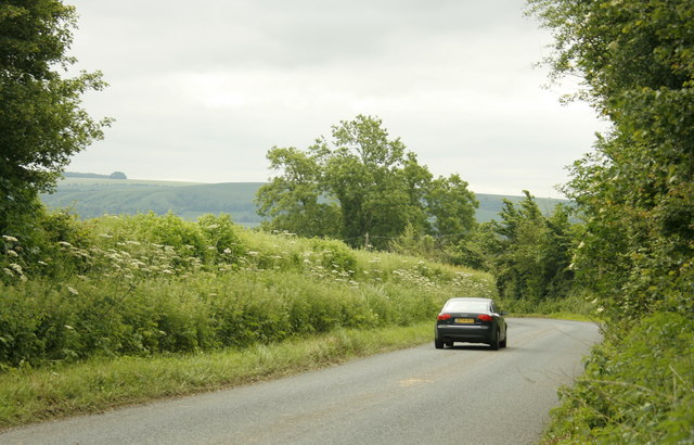
Image: © Maurice Pullin Taken: 6 Jun 2008
Between West Ashton and Dunge. Edington Hill is on the skyline, part of the north western escarpment of Salisbury Plain.
Images are licensed for reuse under creativecommons.org/licenses/by-sa/2.0
Image Location
Latitude
51.290961
Longitude
-2.161139