High Street West in Uppingham
Introduction
The photograph on this page of High Street West in Uppingham by Kevin Flynn as part of the Geograph project.
The Geograph project started in 2005 with the aim of publishing, organising and preserving representative images for every square kilometre of Great Britain, Ireland and the Isle of Man.

There are currently over 7.5m images from over 14,400 individuals and you can help contribute to the project by visiting https://www.geograph.org.uk
High Street West in Uppingham
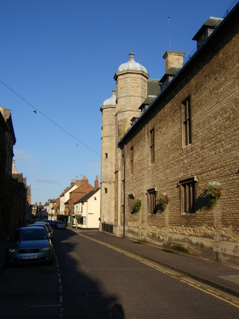
Image: © Kevin Flynn Taken: 29 May 2007
An outside wall of Uppingham School dominates the town's narrow High Street West. Grander façades are to be seen around the corner just beyond the two towers (see Image).
Images are licensed for reuse under creativecommons.org/licenses/by-sa/2.0
Image Location


Leaflet Map data © OpenStreetMap
Latitude
52.58796
Longitude
-0.724496