Path to Chatelherault
Introduction
The photograph on this page of Path to Chatelherault by Alan Pitkethley as part of the Geograph project.
The Geograph project started in 2005 with the aim of publishing, organising and preserving representative images for every square kilometre of Great Britain, Ireland and the Isle of Man.

There are currently over 7.5m images from over 14,400 individuals and you can help contribute to the project by visiting https://www.geograph.org.uk
Path to Chatelherault
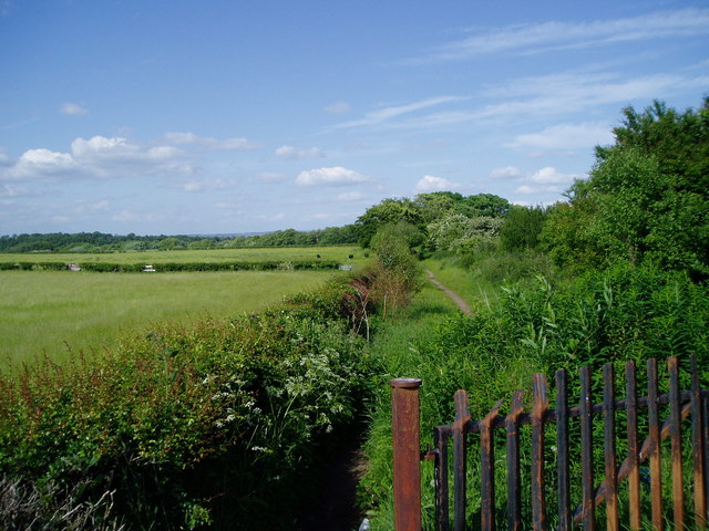
Image: © Alan Pitkethley Taken: 4 Jun 2008
As viewed from the road, this path leads into the network of paths in Chatelherault Park.
Images are licensed for reuse under creativecommons.org/licenses/by-sa/2.0
Image Location
Latitude
55.739747
Longitude
-4.001456