Offa's Dyke Path by River Severn
Introduction
The photograph on this page of Offa's Dyke Path by River Severn by Chris Heaton as part of the Geograph project.
The Geograph project started in 2005 with the aim of publishing, organising and preserving representative images for every square kilometre of Great Britain, Ireland and the Isle of Man.

There are currently over 7.5m images from over 14,400 individuals and you can help contribute to the project by visiting https://www.geograph.org.uk
Offa's Dyke Path by River Severn
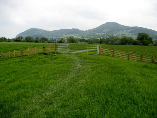
Image: © Chris Heaton Taken: 21 May 2008
The National Trail follows a levee or embankment with the Breidden Hills in the distance.
Images are licensed for reuse under creativecommons.org/licenses/by-sa/2.0
Image Location
Latitude
52.699584
Longitude
-3.089247