Side building to Bethel chapel, Ponciau
Introduction
The photograph on this page of Side building to Bethel chapel, Ponciau by Peter Craine as part of the Geograph project.
The Geograph project started in 2005 with the aim of publishing, organising and preserving representative images for every square kilometre of Great Britain, Ireland and the Isle of Man.

There are currently over 7.5m images from over 14,400 individuals and you can help contribute to the project by visiting https://www.geograph.org.uk
Side building to Bethel chapel, Ponciau
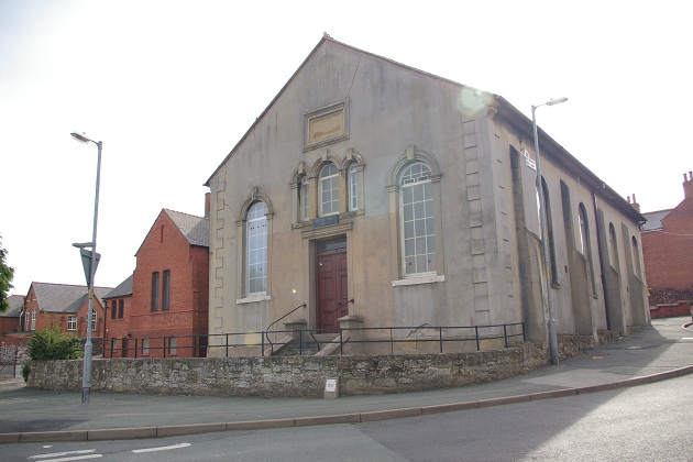
Image: © Peter Craine Taken: 3 Jun 2008
This appears to be the original Bethel chapel - see Image I think it is dated 1850.
Images are licensed for reuse under creativecommons.org/licenses/by-sa/2.0
Image Location
Latitude
53.0134
Longitude
-3.051374