Store corner
Introduction
The photograph on this page of Store corner by Dennis Turner as part of the Geograph project.
The Geograph project started in 2005 with the aim of publishing, organising and preserving representative images for every square kilometre of Great Britain, Ireland and the Isle of Man.

There are currently over 7.5m images from over 14,400 individuals and you can help contribute to the project by visiting https://www.geograph.org.uk
Store corner
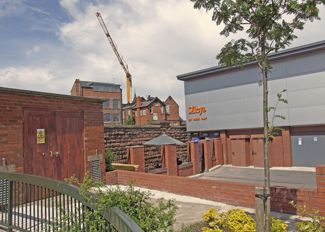
Image: © Dennis Turner Taken: 3 Jun 2008
A group of stores to the north east of the Fountains roundabout. In the centre of the picture is the former Abbeygate School which was badly damaged by fire in May 2008. Behind the wall in the near centre is a railway cutting carrying the main line to Holyhead and a railway tunnel.
Images are licensed for reuse under creativecommons.org/licenses/by-sa/2.0
Image Location
Latitude
53.194915
Longitude
-2.895049