Hogwood Industrial Estate, View 1
Introduction
The photograph on this page of Hogwood Industrial Estate, View 1 by Len Williams as part of the Geograph project.
The Geograph project started in 2005 with the aim of publishing, organising and preserving representative images for every square kilometre of Great Britain, Ireland and the Isle of Man.

There are currently over 7.5m images from over 14,400 individuals and you can help contribute to the project by visiting https://www.geograph.org.uk
Hogwood Industrial Estate, View 1
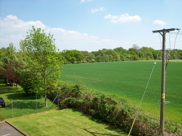
Image: © Len Williams Taken: 7 May 2008
This view taken from my office window and shows the terminus of "9 Mile Ride", a road that extends in a straight line from Bracknell to Finchampstead terminating in a T junction behind the line of trees. This road passes Caesar's Camp, a Celtic Hill Fort, believed to mark the Northern boundary of the Atrebatic Tribe, prior to the Roman conquest.
Images are licensed for reuse under creativecommons.org/licenses/by-sa/2.0
Image Location


Leaflet Map data © OpenStreetMap
Latitude
51.374525
Longitude
-0.885651