Grey Skies
Introduction
The photograph on this page of Grey Skies by Chris Court as part of the Geograph project.
The Geograph project started in 2005 with the aim of publishing, organising and preserving representative images for every square kilometre of Great Britain, Ireland and the Isle of Man.

There are currently over 7.5m images from over 14,400 individuals and you can help contribute to the project by visiting https://www.geograph.org.uk
Grey Skies
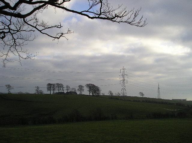
Image: © Chris Court Taken: 21 Nov 2005
View of Easthills farm looking southeast from Corsefield Rd. To the right of the picture beyond the power lines is a communications mast.
Images are licensed for reuse under creativecommons.org/licenses/by-sa/2.0
Image Location


Leaflet Map data © OpenStreetMap
Latitude
55.79114
Longitude
-4.652398