A ruined laithe, and pasture near Moss House
Introduction
The photograph on this page of A ruined laithe, and pasture near Moss House by Peter Church as part of the Geograph project.
The Geograph project started in 2005 with the aim of publishing, organising and preserving representative images for every square kilometre of Great Britain, Ireland and the Isle of Man.

There are currently over 7.5m images from over 14,400 individuals and you can help contribute to the project by visiting https://www.geograph.org.uk
A ruined laithe, and pasture near Moss House
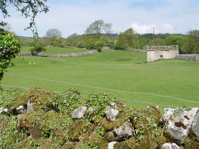
Image: © Peter Church Taken: 26 May 2008
A "laithe" being a shelter for cattle and fodder.
Images are licensed for reuse under creativecommons.org/licenses/by-sa/2.0
Image Location
Latitude
54.070668
Longitude
-2.038014