2008 : Bathford Bakery Est 1777
Introduction
The photograph on this page of 2008 : Bathford Bakery Est 1777 by Maurice Pullin as part of the Geograph project.
The Geograph project started in 2005 with the aim of publishing, organising and preserving representative images for every square kilometre of Great Britain, Ireland and the Isle of Man.

There are currently over 7.5m images from over 14,400 individuals and you can help contribute to the project by visiting https://www.geograph.org.uk
2008 : Bathford Bakery Est 1777
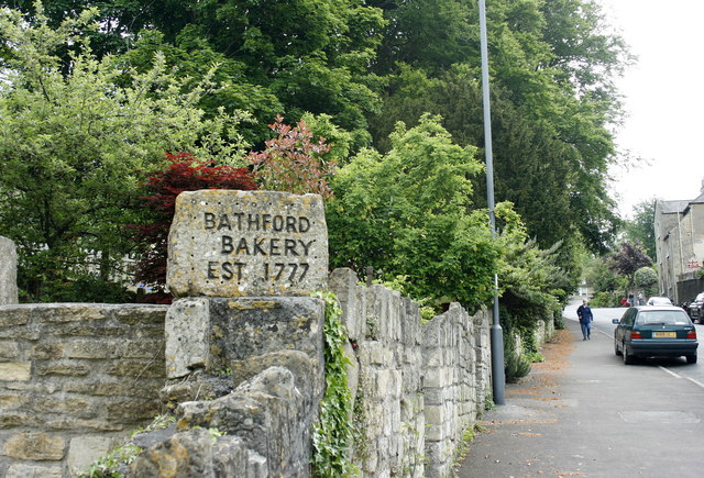
Image: © Maurice Pullin Taken: 20 May 2008
The sign stands outside a cottage probably dating from that time but the bakery was gone. In the other half of the frame we are looking up High Street, the road reaches Kingsdown in a little over a mile and is uphill all the way.
Images are licensed for reuse under creativecommons.org/licenses/by-sa/2.0
Image Location
Latitude
51.401187
Longitude
-2.303553