2008 : Road to St.Catherine
Introduction
The photograph on this page of 2008 : Road to St.Catherine by Maurice Pullin as part of the Geograph project.
The Geograph project started in 2005 with the aim of publishing, organising and preserving representative images for every square kilometre of Great Britain, Ireland and the Isle of Man.

There are currently over 7.5m images from over 14,400 individuals and you can help contribute to the project by visiting https://www.geograph.org.uk
2008 : Road to St.Catherine
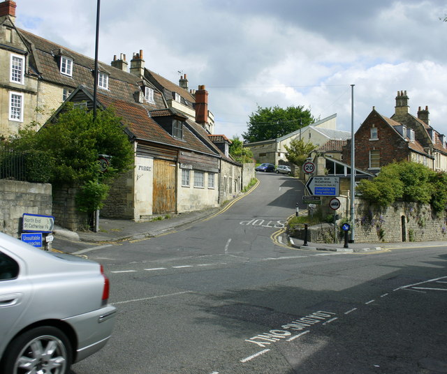
Image: © Maurice Pullin Taken: 20 May 2008
At the junction with London Road. The Limestone Link follows this valley but does not keep to the road. Care needed if you are driving, narrow, sharp bends and steep in places, better by leg power.
Images are licensed for reuse under creativecommons.org/licenses/by-sa/2.0
Image Location
Latitude
51.406176
Longitude
-2.320695