Pastures at Desoglin
Introduction
The photograph on this page of Pastures at Desoglin by John Hill as part of the Geograph project.
The Geograph project started in 2005 with the aim of publishing, organising and preserving representative images for every square kilometre of Great Britain, Ireland and the Isle of Man.

There are currently over 7.5m images from over 14,400 individuals and you can help contribute to the project by visiting https://www.geograph.org.uk
Pastures at Desoglin
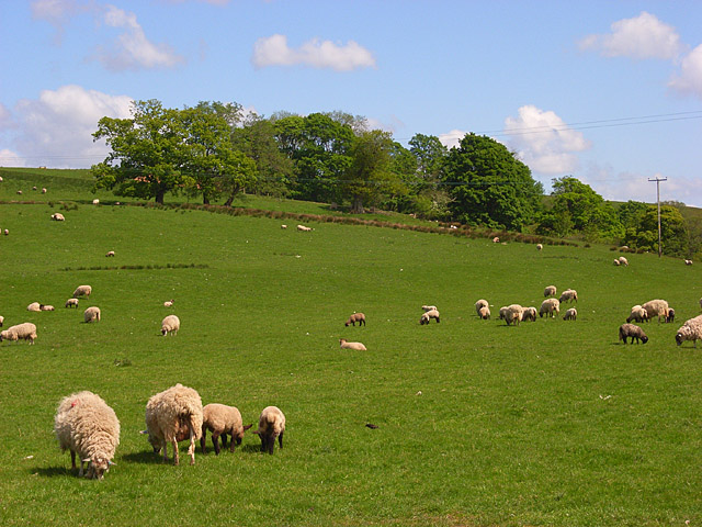
Image: © John Hill Taken: 26 May 2008
This is the hillside that rises on the northern side of King Water, a tributary of the River Irthing that drains from Spadeadam Forest.
Images are licensed for reuse under creativecommons.org/licenses/by-sa/2.0
Image Location
Latitude
55.00118
Longitude
-2.659674