Driffield Parish Church
Introduction
The photograph on this page of Driffield Parish Church by Peter Watkins as part of the Geograph project.
The Geograph project started in 2005 with the aim of publishing, organising and preserving representative images for every square kilometre of Great Britain, Ireland and the Isle of Man.

There are currently over 7.5m images from over 14,400 individuals and you can help contribute to the project by visiting https://www.geograph.org.uk
Driffield Parish Church
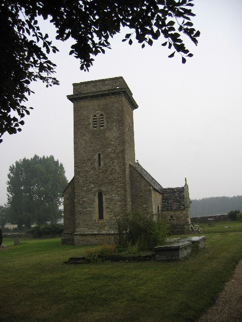
Image: © Peter Watkins Taken: 10 Sep 2005
An unusual church for this part of the world. Note typical "table top" tombs in foreground.
Images are licensed for reuse under creativecommons.org/licenses/by-sa/2.0
Image Location


Leaflet Map data © OpenStreetMap
Latitude
51.696001
Longitude
-1.894334