2008 : Coalpit Road and Fosse Lane, Batheaston
Introduction
The photograph on this page of 2008 : Coalpit Road and Fosse Lane, Batheaston by Maurice Pullin as part of the Geograph project.
The Geograph project started in 2005 with the aim of publishing, organising and preserving representative images for every square kilometre of Great Britain, Ireland and the Isle of Man.

There are currently over 7.5m images from over 14,400 individuals and you can help contribute to the project by visiting https://www.geograph.org.uk
2008 : Coalpit Road and Fosse Lane, Batheaston
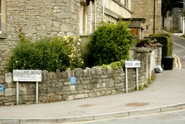
Image: © Maurice Pullin Taken: 20 May 2008
Road names are part of our history. In Fosse Lane we have a reminder of the Roman influence from 2000 years ago which affects our lives to this day. Coalpit Lane was the way to a nearby coal mine making use of the North Somerset coalfield.
Images are licensed for reuse under creativecommons.org/licenses/by-sa/2.0
Image Location
Latitude
51.405378
Longitude
-2.316807