Spring Lane School playground
Introduction
The photograph on this page of Spring Lane School playground by Ruth Thomas as part of the Geograph project.
The Geograph project started in 2005 with the aim of publishing, organising and preserving representative images for every square kilometre of Great Britain, Ireland and the Isle of Man.

There are currently over 7.5m images from over 14,400 individuals and you can help contribute to the project by visiting https://www.geograph.org.uk
Spring Lane School playground
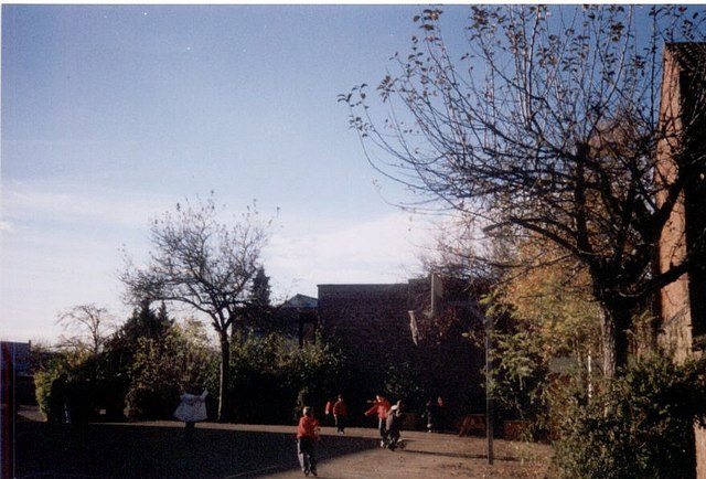
Image: © Ruth Thomas Taken: 1 Apr 2004
One of the earliest Board Schools built in 1874, Spring Lane Primary School is still a busy centre for education
Images are licensed for reuse under creativecommons.org/licenses/by-sa/2.0
Image Location
Latitude
52.237524
Longitude
-0.895801