Sow Hill, Beverley
Introduction
The photograph on this page of Sow Hill, Beverley by David Wright as part of the Geograph project.
The Geograph project started in 2005 with the aim of publishing, organising and preserving representative images for every square kilometre of Great Britain, Ireland and the Isle of Man.

There are currently over 7.5m images from over 14,400 individuals and you can help contribute to the project by visiting https://www.geograph.org.uk
Sow Hill, Beverley
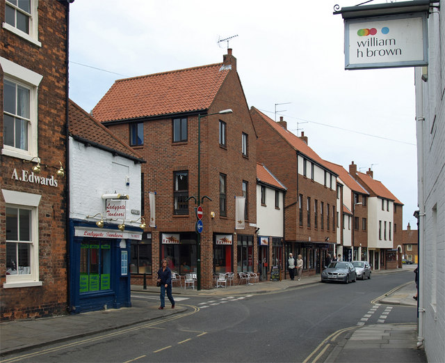
Image: © David Wright Taken: 26 May 2008
Photo taken looking across the junction with Ladygate. The further part of the street was cut through to New Walkergate in the 1960s.
Images are licensed for reuse under creativecommons.org/licenses/by-sa/2.0
Image Location
Latitude
53.843733
Longitude
-0.431589