Weir and sluice above Troy Mills, Horsforth
Introduction
The photograph on this page of Weir and sluice above Troy Mills, Horsforth by Rich Tea as part of the Geograph project.
The Geograph project started in 2005 with the aim of publishing, organising and preserving representative images for every square kilometre of Great Britain, Ireland and the Isle of Man.

There are currently over 7.5m images from over 14,400 individuals and you can help contribute to the project by visiting https://www.geograph.org.uk
Weir and sluice above Troy Mills, Horsforth
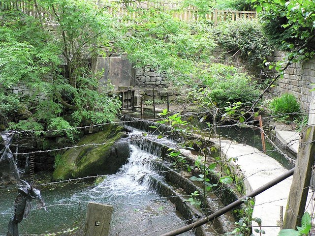
Image: © Rich Tea Taken: 26 May 2008
The sluice, on the far side of the picture, would have fed water to Troy Mills, to drive the machinery.
Images are licensed for reuse under creativecommons.org/licenses/by-sa/2.0
Image Location
Latitude
53.845861
Longitude
-1.630169