Multiple paths
Introduction
The photograph on this page of Multiple paths by Bob Embleton as part of the Geograph project.
The Geograph project started in 2005 with the aim of publishing, organising and preserving representative images for every square kilometre of Great Britain, Ireland and the Isle of Man.

There are currently over 7.5m images from over 14,400 individuals and you can help contribute to the project by visiting https://www.geograph.org.uk
Multiple paths
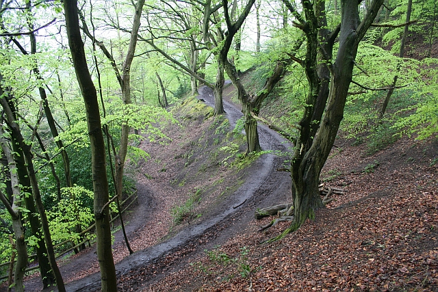
Image: © Bob Embleton Taken: 4 May 2008
The lower path goes round to the Holy Well while the upper one skirts above it.
Images are licensed for reuse under creativecommons.org/licenses/by-sa/2.0
Image Location
Latitude
52.081098
Longitude
-2.335582