Leominster - Buckfield Road 2008
Introduction
The photograph on this page of Leominster - Buckfield Road 2008 by Peter Whatley as part of the Geograph project.
The Geograph project started in 2005 with the aim of publishing, organising and preserving representative images for every square kilometre of Great Britain, Ireland and the Isle of Man.

There are currently over 7.5m images from over 14,400 individuals and you can help contribute to the project by visiting https://www.geograph.org.uk
Leominster - Buckfield Road 2008
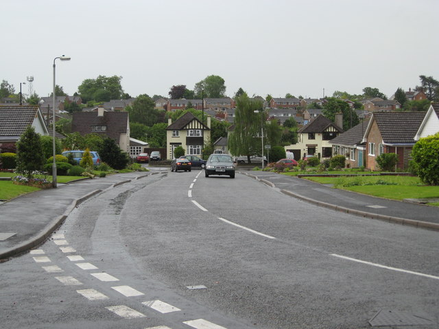
Image: © Peter Whatley Taken: 26 May 2008
Looking down the eastern access to Buckfield Road from the corner giving access to Wesley Road. The detached houses at the end of Buckfield Road are on the main A44.
Images are licensed for reuse under creativecommons.org/licenses/by-sa/2.0
Image Location


Leaflet Map data © OpenStreetMap
Latitude
52.225529
Longitude
-2.754348