Close up of erosion on top of Trigpoint
Introduction
The photograph on this page of Close up of erosion on top of Trigpoint by Barry Hunter as part of the Geograph project.
The Geograph project started in 2005 with the aim of publishing, organising and preserving representative images for every square kilometre of Great Britain, Ireland and the Isle of Man.

There are currently over 7.5m images from over 14,400 individuals and you can help contribute to the project by visiting https://www.geograph.org.uk
Close up of erosion on top of Trigpoint
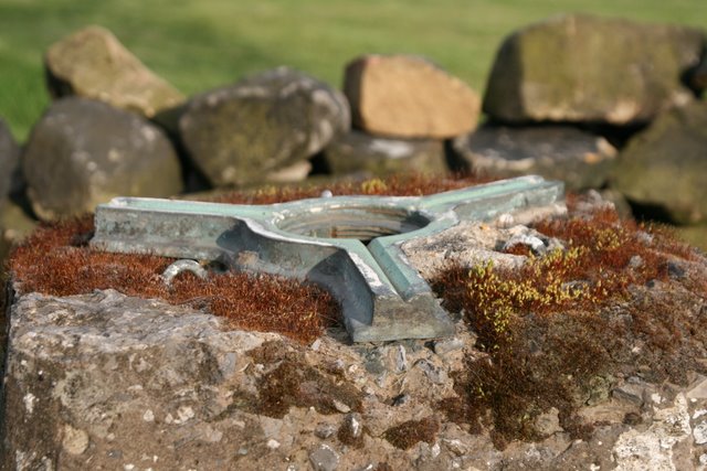
Image: © Barry Hunter Taken: 19 May 2008
Showing how the concrete has eroded away - partly from ice and weather, but quite possibly just because of the accessible location.
Images are licensed for reuse under creativecommons.org/licenses/by-sa/2.0
Image Location
Latitude
53.821076
Longitude
-2.212169