Top of the Upper Welland road
Introduction
The photograph on this page of Top of the Upper Welland road by Bob Embleton as part of the Geograph project.
The Geograph project started in 2005 with the aim of publishing, organising and preserving representative images for every square kilometre of Great Britain, Ireland and the Isle of Man.

There are currently over 7.5m images from over 14,400 individuals and you can help contribute to the project by visiting https://www.geograph.org.uk
Top of the Upper Welland road
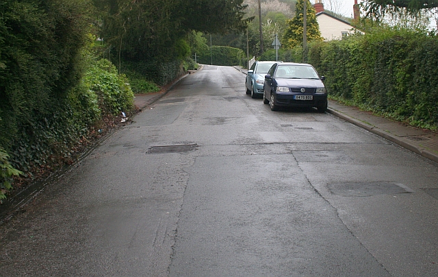
Image: © Bob Embleton Taken: 4 May 2008
The road is too steep for the current bus service. I used to cycle up here a quarter of a century ago - now I need medication just to walk up it!
Images are licensed for reuse under creativecommons.org/licenses/by-sa/2.0
Image Location
Latitude
52.070315
Longitude
-2.33375