Duckingdub Bridge
Introduction
The photograph on this page of Duckingdub Bridge by Gordon Hatton as part of the Geograph project.
The Geograph project started in 2005 with the aim of publishing, organising and preserving representative images for every square kilometre of Great Britain, Ireland and the Isle of Man.

There are currently over 7.5m images from over 14,400 individuals and you can help contribute to the project by visiting https://www.geograph.org.uk
Duckingdub Bridge
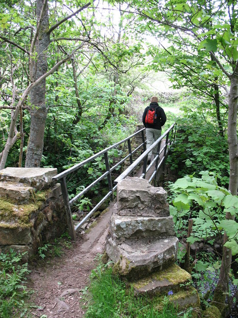
Image: © Gordon Hatton Taken: 24 May 2008
A concrete beam bridge over Straw Beck, just to the west of Muker. The name is interesting. A 'dub' is usually a deep pool, so maybe this was a place where sheep were given an annual bath, as at Janet's Foss near Malham [SD9163].
Images are licensed for reuse under creativecommons.org/licenses/by-sa/2.0
Image Location
Latitude
54.375614
Longitude
-2.146826