View south to Ives Head
Introduction
The photograph on this page of View south to Ives Head by Sue Hutton as part of the Geograph project.
The Geograph project started in 2005 with the aim of publishing, organising and preserving representative images for every square kilometre of Great Britain, Ireland and the Isle of Man.

There are currently over 7.5m images from over 14,400 individuals and you can help contribute to the project by visiting https://www.geograph.org.uk
View south to Ives Head
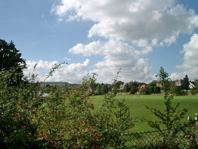
Image: © Sue Hutton Taken: Unknown
I'm standing at the grid reference looking south across Newcroft School field, Shepshed, towards Ives Head, on the northern slopes of Charnwood Forest. The estate was built in the 1970s-1980s and so does not appear on the 1940's OS maps.
Images are licensed for reuse under creativecommons.org/licenses/by-sa/2.0
Image Location
Latitude
52.768244
Longitude
-1.285573