The Narrows, Knighton
Introduction
The photograph on this page of The Narrows, Knighton by Chris Heaton as part of the Geograph project.
The Geograph project started in 2005 with the aim of publishing, organising and preserving representative images for every square kilometre of Great Britain, Ireland and the Isle of Man.

There are currently over 7.5m images from over 14,400 individuals and you can help contribute to the project by visiting https://www.geograph.org.uk
The Narrows, Knighton
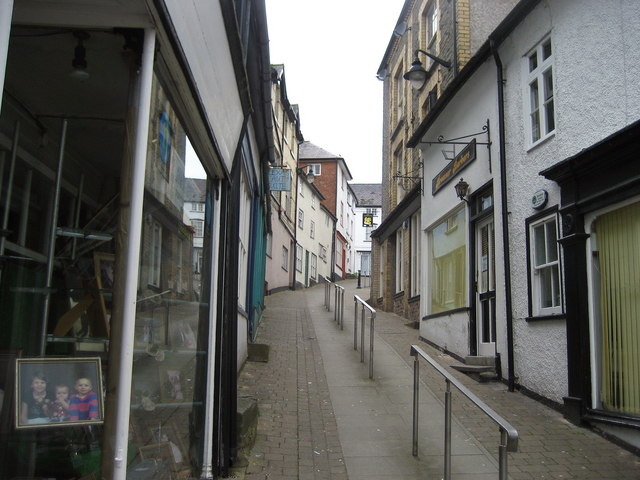
Image: © Chris Heaton Taken: 18 May 2008
According to Multimap this thoroughfare is part of High Street, with a signpost at the bottom suggesting the alleyway is locally called "The Narrows."
Images are licensed for reuse under creativecommons.org/licenses/by-sa/2.0
Image Location
Latitude
52.344267
Longitude
-3.051718